
Industries overview
Different tasks, a shared foundation: reliable measurements. Find the right starting point for your sector and explore the technical requirements when you need them.
Your sector. Your measurement task.
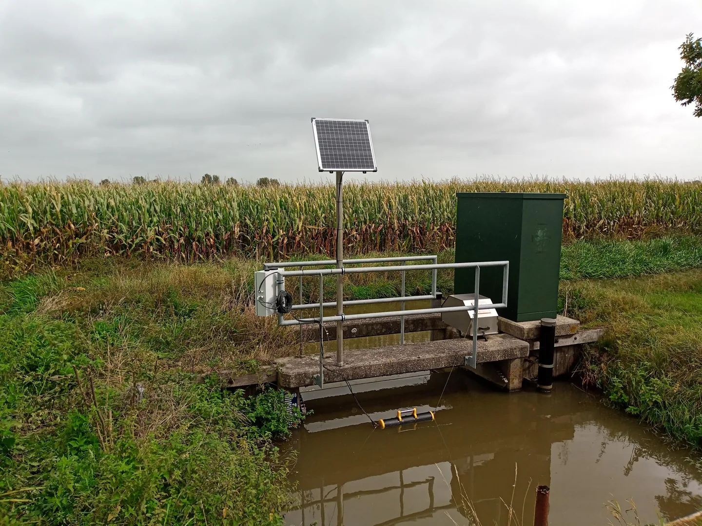
Water boards
Monitor levels and water quality across the catchment.
Technical details
Statutory water boards run the gauge and water-quality networks of their catchment. Aquatos loggers deliver the hourly values required by the LAWA gauge regulation, quality-checked and exportable as ZRXP straight into the NRW flood portal and existing WISKI stores. For the WFD management cycle 2027–2033, the continuous quantity and quality time series the programmes of measures call for.
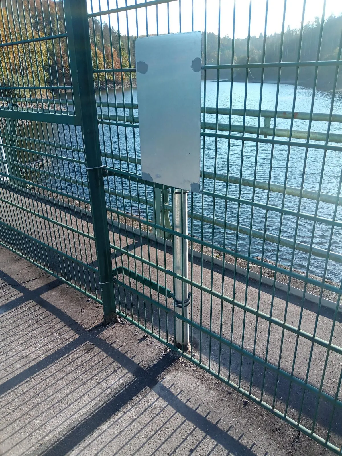
Dam operators
Continuously track water level, seepage and temperature profiles.
Technical details
Dams and flood-retention basins fall under DIN 19700-10/-11/-12. We cover the recurring mandatory measurements: reservoir level, seepage level at the drainage gallery and seepage volume (pulse counter), depth-profile temperatures via measuring chains for stratification assessment, plus rainfall and soil moisture in the catchment. Data quality-checked and exportable as ZRXP / OGC-SOS.
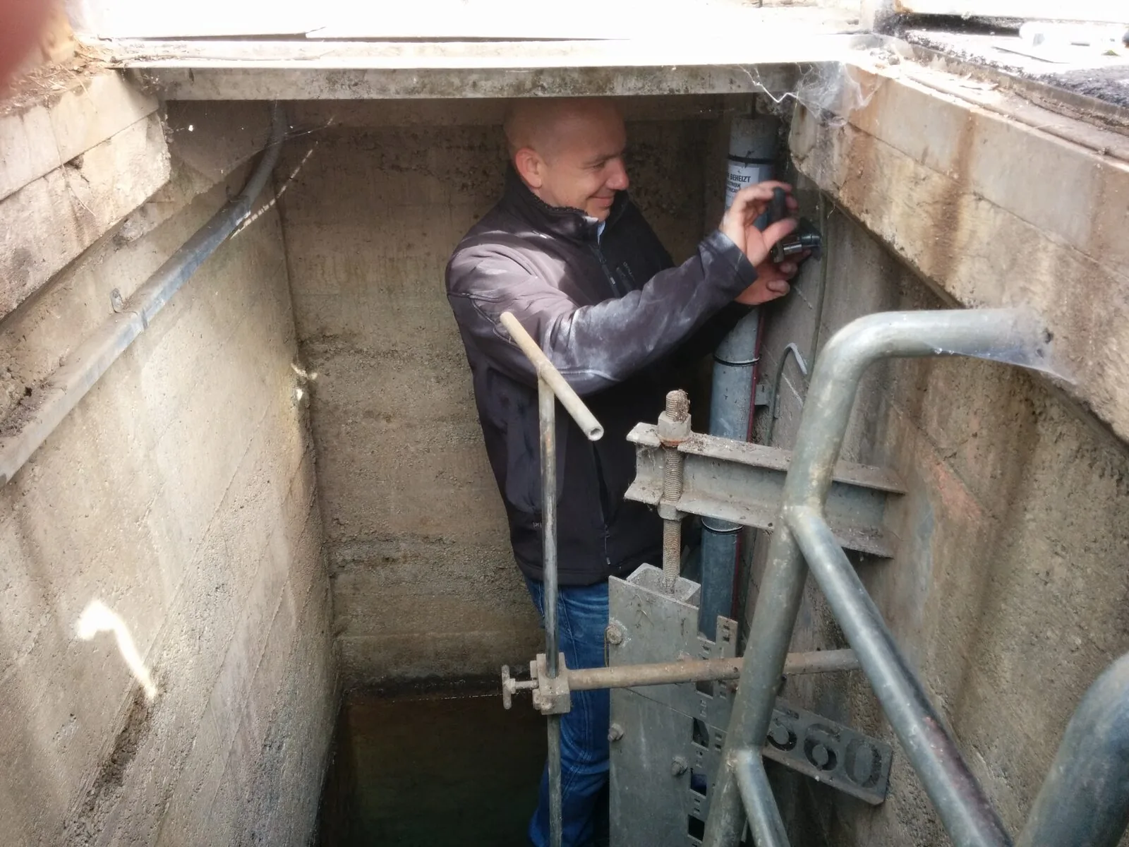
Mine-water aftercare
Observe mine-water levels and selected quality parameters over time.
Technical details
Rising mine water in coal and ore mining, spoil-heap seepage, levels in subsidence areas and brines in salt and ore mining. Pressure transducers for deep shaft levels — realised in practice down to 800 m shaft depth —, conductivity and pH probes for acidic seepage, high-range conductivity for saline sources. Data documented to authority standard, with alarms when the limits from the water-rights permit are exceeded.
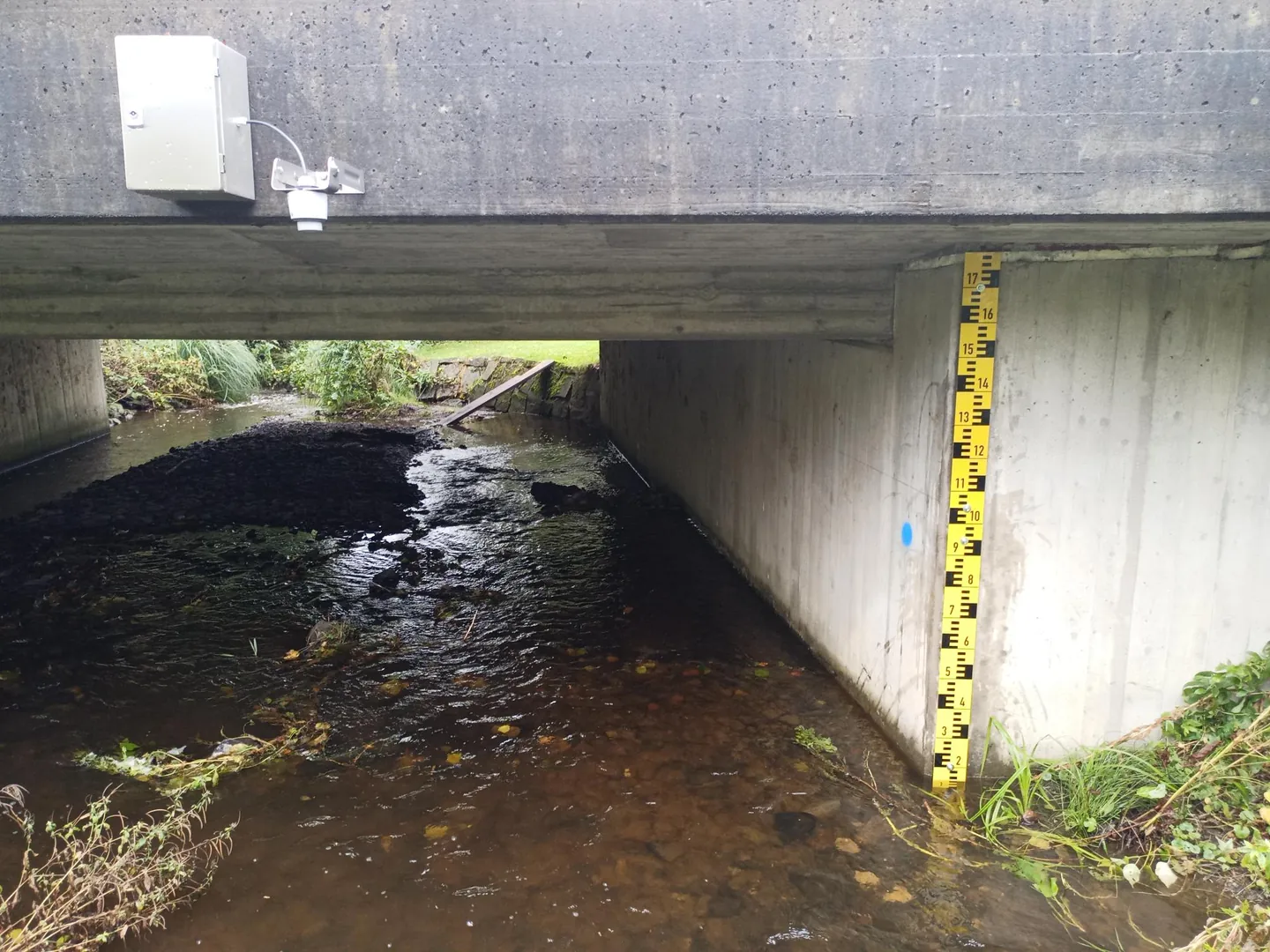
Municipalities & heavy-rain provision
Bring together data for heavy-rain preparedness and local gauge networks.
Technical details
Since the 2021 floods, municipalities have to produce and calibrate heavy-rain hazard maps. The measuring network behind them: high-resolution rainfall (tipping bucket or weighing), soil moisture as a lead indicator, sewer levels in the combined network, surface runoff at low points. Data formats are municipality-ready (CSV, ZRXP). Lessons from the IoT4SRGK research project in Gütersloh feed straight into product design.
Agriculture & irrigation
Use soil moisture and weather as a basis for irrigation planning.
Technical details
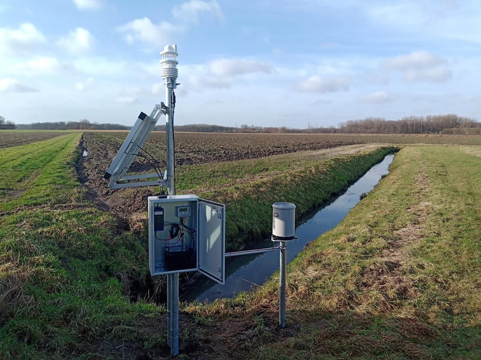
Soil-moisture profiles in the main root zone (10/30/60 cm), air temperature above the canopy and reference evapotranspiration per FAO-56 as input for irrigation and forecasting systems. Plus drainage levels in inspection shafts and frost warning for specialty crops.
Low flow & minimum ecological flow
Track changes even at low water levels.
Technical details
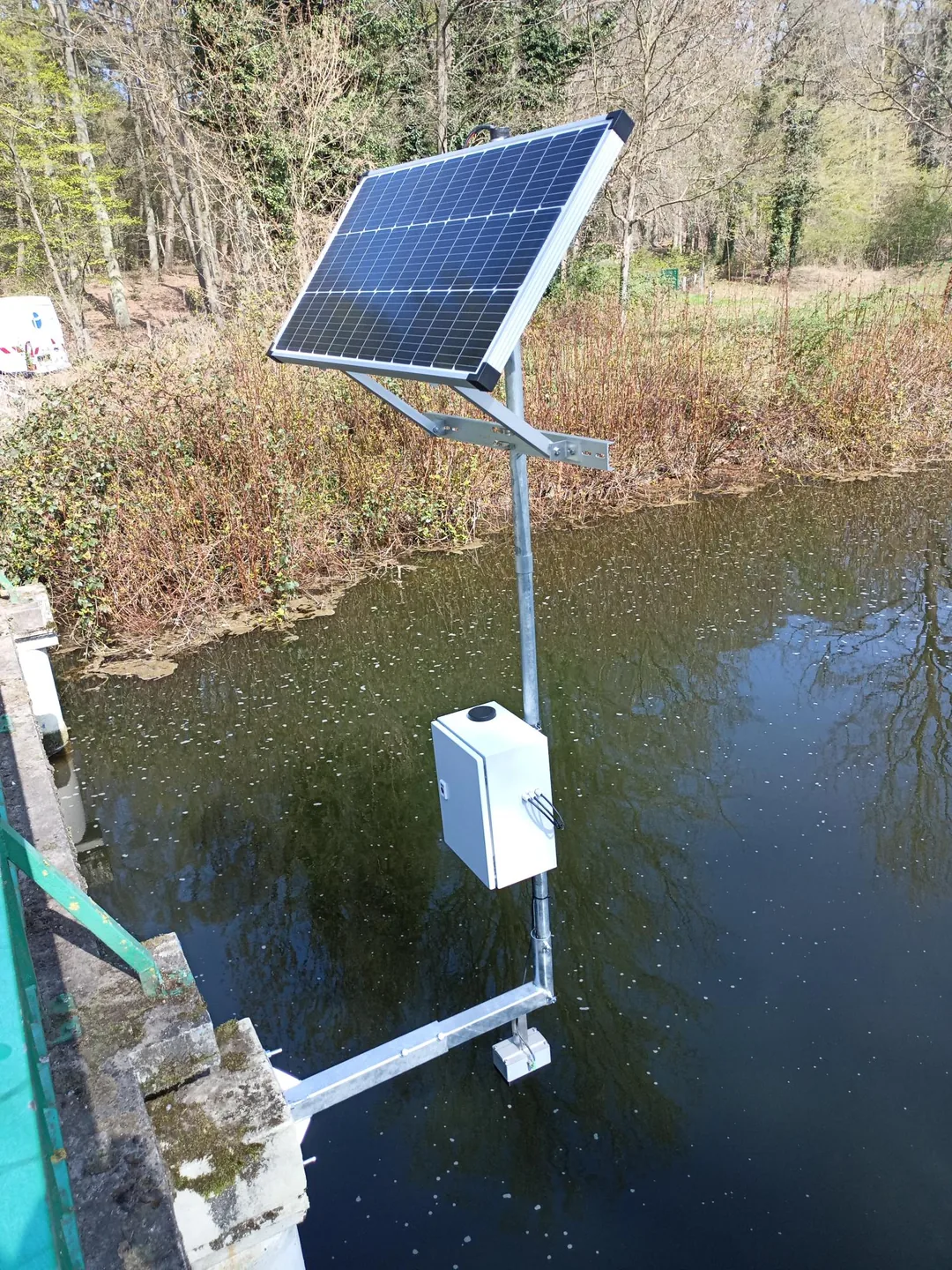
MNQ, MQ and the statutory minimum flow require millimetre-resolution level measurement — with the smallest pressure ranges (≤ 1 bar) and additional water temperature as a stress indicator for fish. We design the station so the required accuracy is kept even at shallow immersion. Linked to the quantity component of the EU WFD.
Loads & sediment
Combine concentration and discharge for traceable load calculations.
Technical details
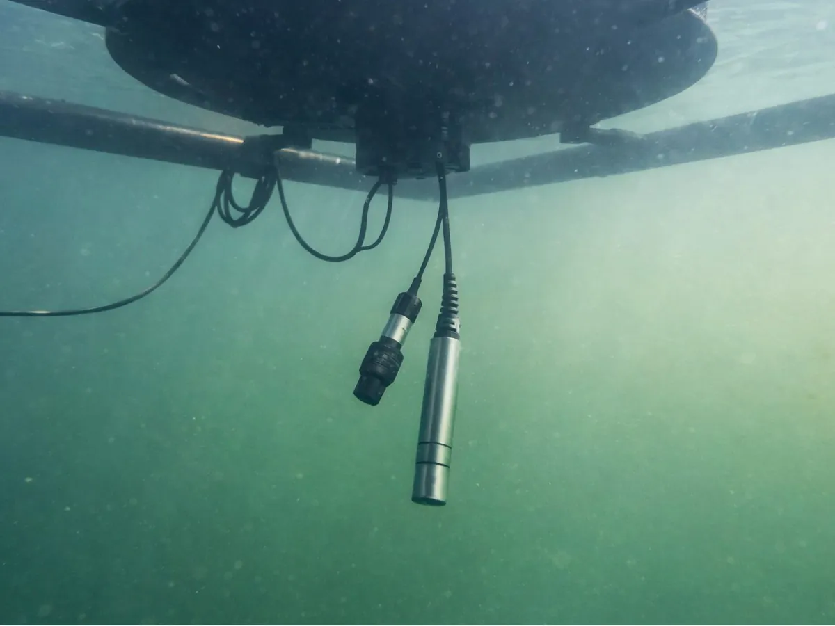
Load = concentration × discharge (kg/d, t/yr). High-frequency substance monitoring at minute intervals instead of weekly grab samples. Important: optical turbidity (NTU/FNU per ISO 7027) is not the same as suspended-sediment concentration (mg/l); site-specific calibration is mandatory. Sediment loads at reservoir inflows in the sense of DIN 19700-11.
Research & academia
Implement field measurements with flexible sensors and suitable data paths.
Technical details
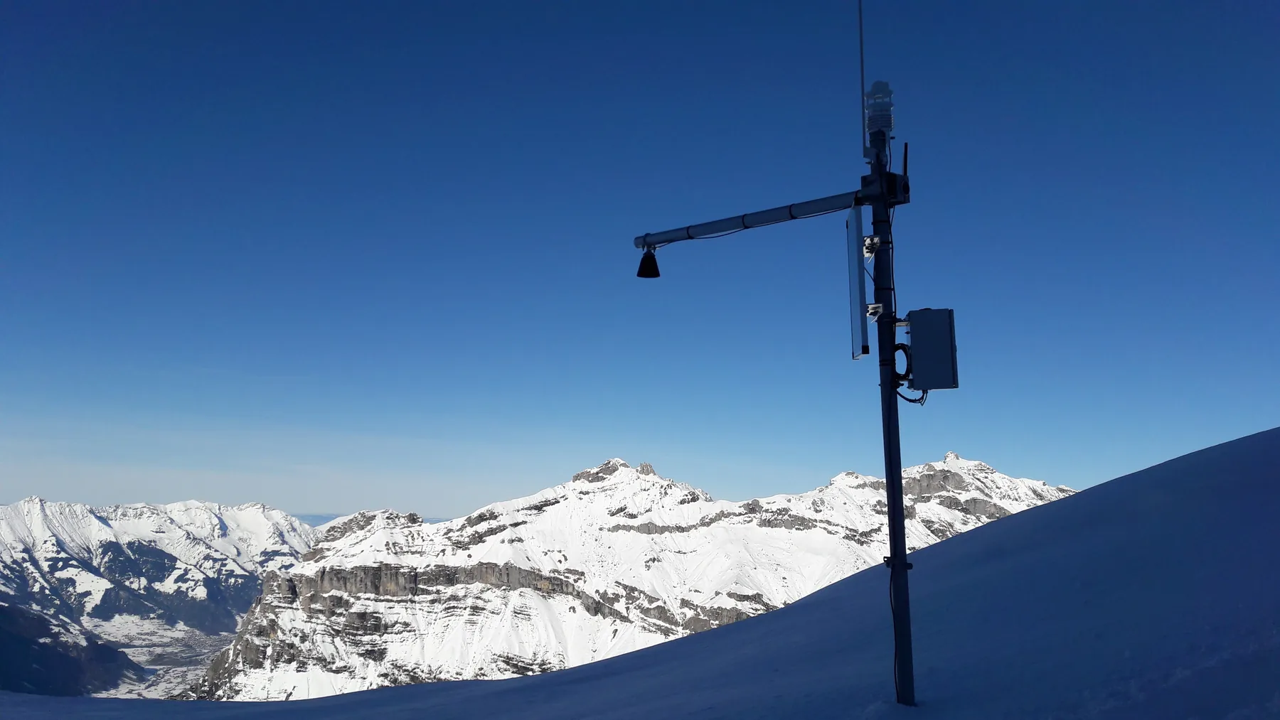
Research partners use Aquatos loggers where their own capacity is short or requirements too specific: open interfaces (OGC SensorThings, ZRXP, CSV), measuring chains for permafrost and limnological profiles, autonomous climate stations for multi-year field campaigns. TerraTransfer is a willing consortium partner and brings proven hardware into ERDF/JTF, BMBF and Horizon Europe proposals, with FAIR-compliant data paths.
Your industry not listed?
Tell us your task and the relevant regulations, and we propose the right measurement and data solution.