Changes at the gauge.
Radar or a pressure sensor measures water level. Rainfall adds context for the catchment; discharge needs suitable measurements or a calibrated relationship.

Detect rising water levels early. Measure water level and rainfall continuously, transmit the data and notify the response team.
Sensors, data loggers and analysis work together as a system. The equipment is selected for your measurement task and location.
Radar or a pressure sensor measures water level. Rainfall adds context for the catchment; discharge needs suitable measurements or a calibrated relationship.
Logger, power supply and communications are designed together. An additional transmission path can be considered for critical sites.
Thresholds and recipients are matched to your operation. Sensormanager provides time series and supports SMS and email notifications.
A look at real installations: mounting is part of the solution, along with sensors, power and access to data.
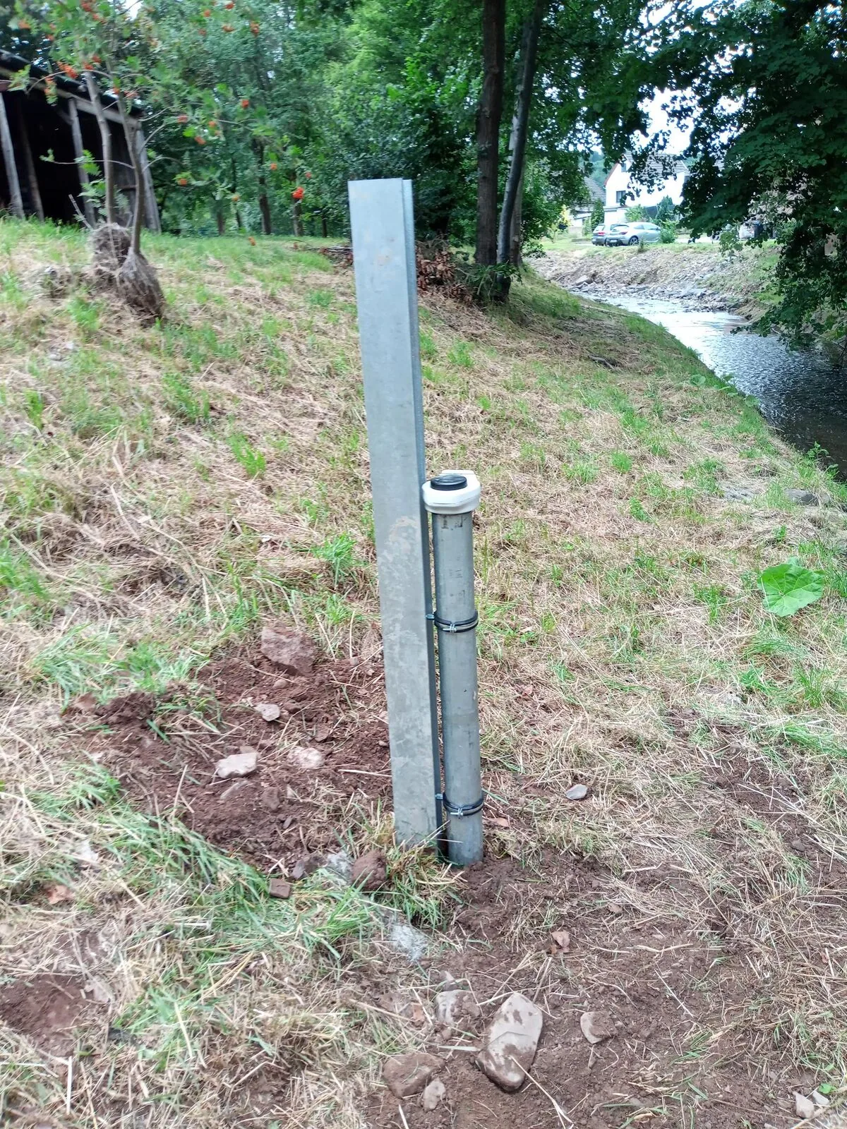
A gauge tube with data logger on the bank, close to the measurement point.
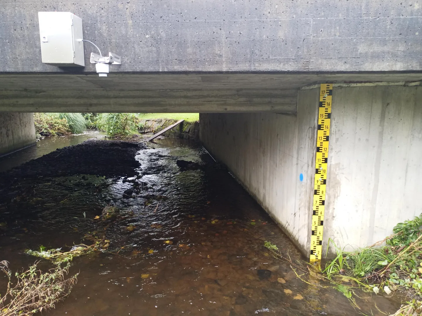
Staff gauge and monitoring sensor on a bridge over a stream.
Start with the logger, sensors or a complete station. We help match the components to your application.
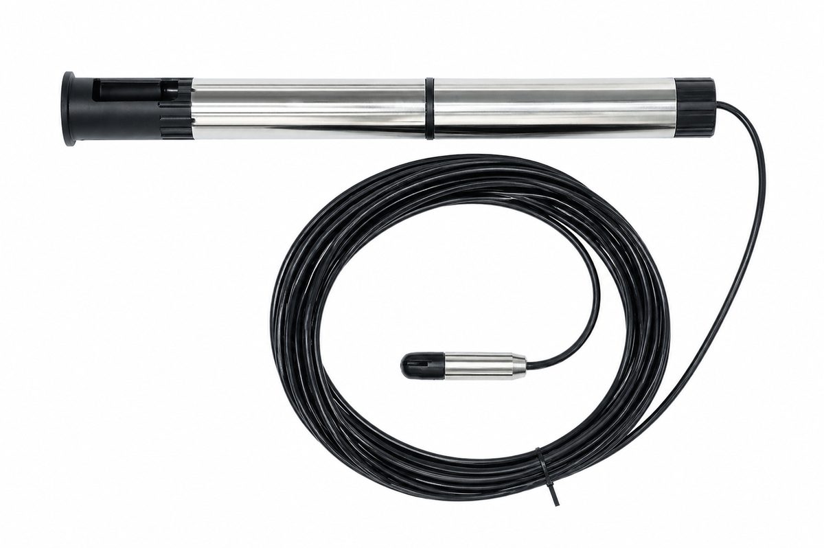
Data logger with mobile transmission for monitoring sites with central data access.
View product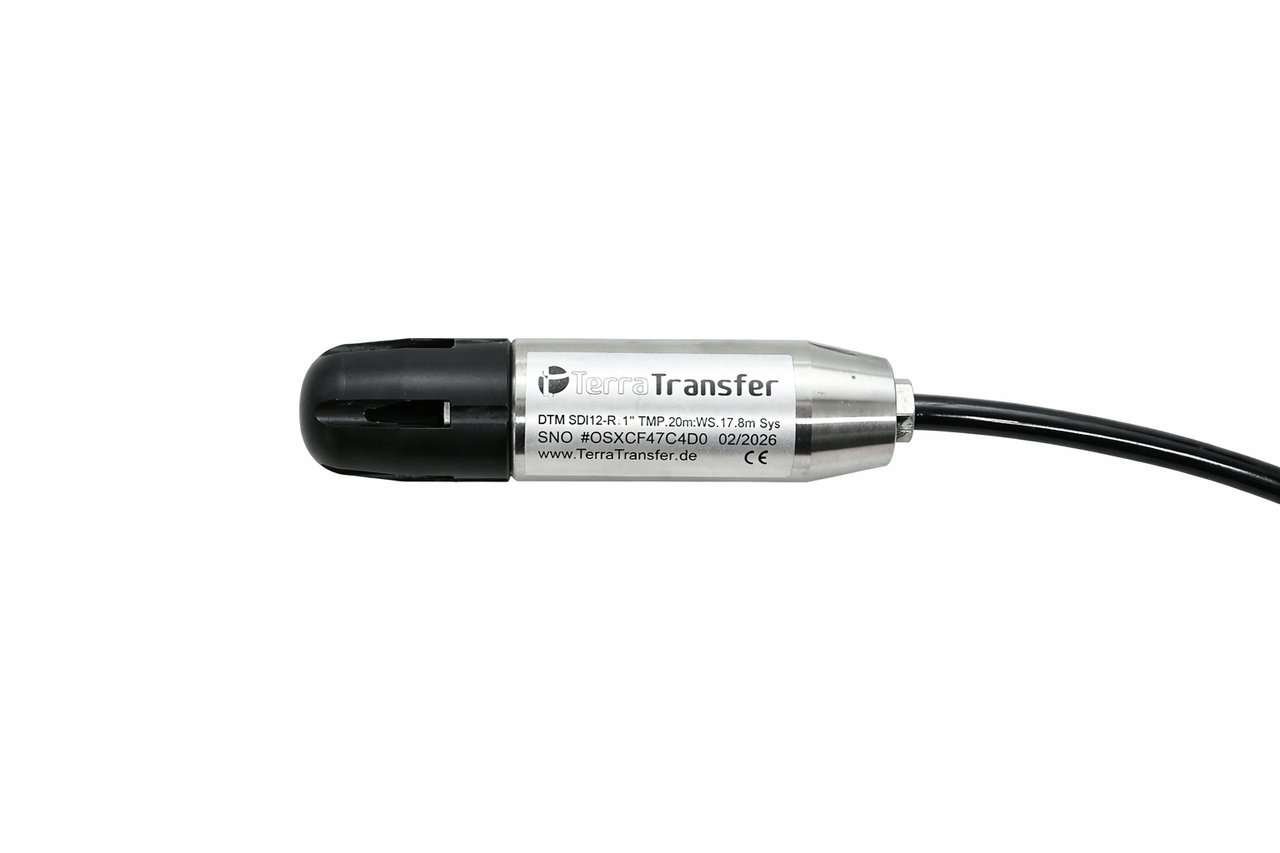
Sensors and interfaces for your chosen parameters and existing equipment.
View product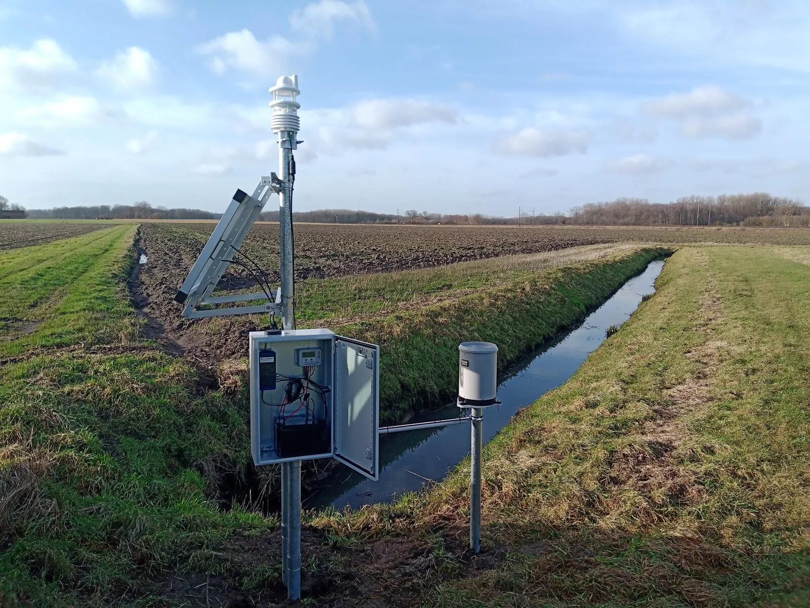
Measurement parameters, installation and methodological notes in detail.
Flood early warning stands or falls with data availability during an event. We measure water level W at the gauge, rainfall and — where continuous measurement is possible — discharge Q via the calibrated stage-discharge (W-Q) relationship. The stations run off-grid on solar/battery and transmit redundantly, so values still arrive when the cellular network is congested during an event.
The gauge follows DIN EN ISO 4373, discharge determination the calibrated stage-discharge relationships per ISO 1100. Measurement and transmission intervals are sized to the catchment's required lead time. The stations are standard for implementing the EU Floods Directive and for municipal heavy-rain hazard maps.
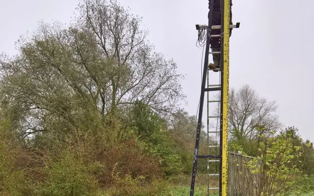 Rhine flood-stage 1: gauging inside a retention areaOn a Rhine retention area: sensors directly in the riverbed, cabling underground to a higher-mounted logger. Antenna and barometric-vent capillary above the maximum water level — the Aquatos Web can be fully submerged and still streams real-time data.
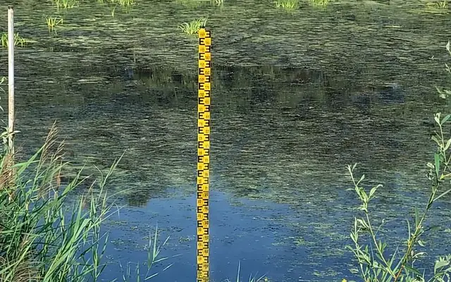 More than a staff gauge — modern flood monitoringStaff gauges alone aren't enough — we install them with an Aquatos Web logger inside a protective tube. Even three metres high, on bridges or free-standing in overflow basins — with a cabled sensor to a deck-mounted logger in extreme cases.
Tell us the catchment and the sites, and we propose a redundant measurement and alerting concept.